
Houthis Sign Satellite Data Deals to Tighten Grip on Bab al-Mandab
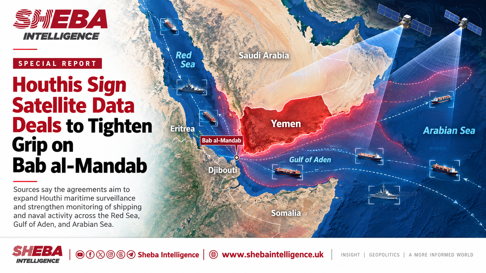
The Houthis’ external intelligence apparatus has signed new agreements with a Chinese company to obtain satellite imagery and maritime surveillance data, seeking to tighten the group’s grip on shipping through Bab al-Mandab and track Saudi and allied warships, intelligence sources told Sheba Intelligence.
The agreements followed the group’s reported expansion of control along Yemen’s Red Sea coast to Dhubab and Mayun Island, the sources said. The timing suggests an effort to complement territorial gains with wider maritime surveillance and greater influence over one of the world’s most important shipping chokepoints.
According to the sources, the arrangements prioritise information on Saudi and allied warships in the Red Sea, the Arabian Sea and waters off Saudi Arabia. The aim is to support planning for attacks before a maritime coalition completes preparations for operations linked to Yemen, the sources said.
They identified the company as Meentropy Technology, based in Hangzhou, China, and said the agreements were brokered through Iran’s military attaché’s office in China, which connected the company with Houthi liaison officers based in Muscat.
The sources said the agreements cover advanced satellite imagery and intelligence data intended to support missile and drone operations by the Houthis and other Iran-aligned groups. The reported scope extends beyond Saudi vessels to commercial shipping, Western vessels and interests in the Red Sea and Gulf of Aden, as well as sites in countries hosting forces or facilities associated with the US Fifth Fleet.
Under the arrangements described by the sources, data are transmitted through military communications satellites and encrypted satellite internet links to joint operations rooms in Sanaa and Hodeidah, with Iranian surveillance vessels in the region acting as intermediary relays.
The information includes geographic coordinates and data on targets’ movement and speed, which the sources described as “real-time coordinates”. They said it was intended for use with missile and drone systems, including weapons employing optical or radar sensors for terminal guidance. They also said the company supplied guidance-related chips.
Sheba Intelligence could not independently verify the agreements, whether the services had become operational, or the reported communications arrangements, role of Iranian vessels and supply of guidance components.
The reported scope points to two connected objectives: expanding surveillance of international shipping through the strait and using that information in wartime to monitor naval forces that could operate against the group. If confirmed, the agreements would indicate an attempt to turn coastal control into greater influence over maritime traffic, with an immediate military focus on Saudi Arabia and its allies.
In a September 11 report, Sheba Intelligence cited information that the Houthis had captured Dhubab and Mayun after taking Mokha, and were planning to advance towards the Al-Arah coast to consolidate their positions around Bab al-Mandab. Mayun divides the strait into two channels, giving the island particular importance for international navigation.
The company identified by the sources matches Meentropy Technology (Hangzhou) Co. Ltd., which operates under the name MizarVision. US Treasury records list its establishment in December 2021 and its addition to the sanctions list on May 8, 2026, under Iran-related measures.
MizarVision presents itself as an open-source geospatial intelligence platform supported by artificial intelligence, analysing imagery and location-related information. Its public description does not substantiate the reported supply of military guidance components.
Houthi efforts to secure Chinese satellite services predate their latest coastal gains. On June 19, 2026, Sheba Intelligence reported that the group’s external intelligence sector was seeking Chinese satellite imagery, coordinates and related capabilities through a channel linked to the Iranian embassy in Muscat and a private security intermediary.
That report named Chang Guang Satellite Technology, a separate company from MizarVision, and did not establish whether data were being supplied directly or through a third party. The new information adds a reported set of agreements with another company and a role for Iran’s military attaché’s office in China.
Satellite imagery can help detect vessels and establish their locations at the time of observation. Radar imaging can operate at night and through cloud cover. However, the frequency of observations and the time required to process and deliver data determine how current the information is. Access to satellite imagery alone therefore does not establish continuous, real-time surveillance of every vessel.
Reconnaissance data also serve a different function from GPS, which allows a receiver to calculate its own position and time and does not independently reveal the location of other vessels. The precision of any military use depends on the capabilities of the systems involved, which the available information about the agreements does not establish.